Khall Sacha Road
Fully restoredThis activity provides a detailed overview of the operational status of the Road Khall Sacha Road, recorded on 15 August, 2026. The affected site is situated within the Dir Lower district, operating under the administrative jurisdiction of XEN H/W DIR LOWER. The infrastructure has been primarily affected by Retaining Wall, Land Sliding, Surface of road, encompassing a total span of 0.22 Kilometers.
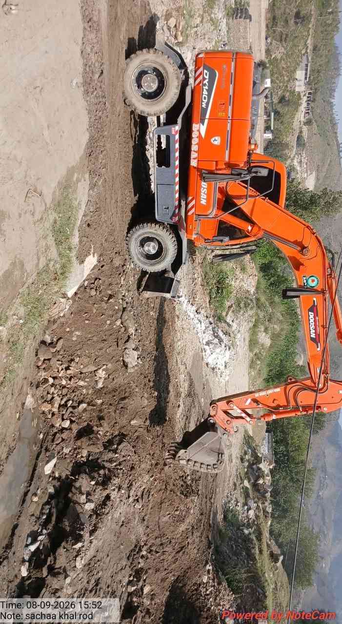
Restoration and clearance efforts were facilitated by the deployment of Excavator (x1) .
The affected area has been mapped using geographic coordinates. The section starts at 71.994088, 34.907714 and ends at 71.993926, 34.909566. For location reference and navigation, view the route on Google Maps.
All required restoration activities have been successfully completed, and the road is now fully operational, allowing safe and uninterrupted movement of traffic.
The following photographs provide a visual record of the site conditions before and after the activity, illustrating the extent of the affected area and the improvements achieved through the executed operations.
Before Images (1)
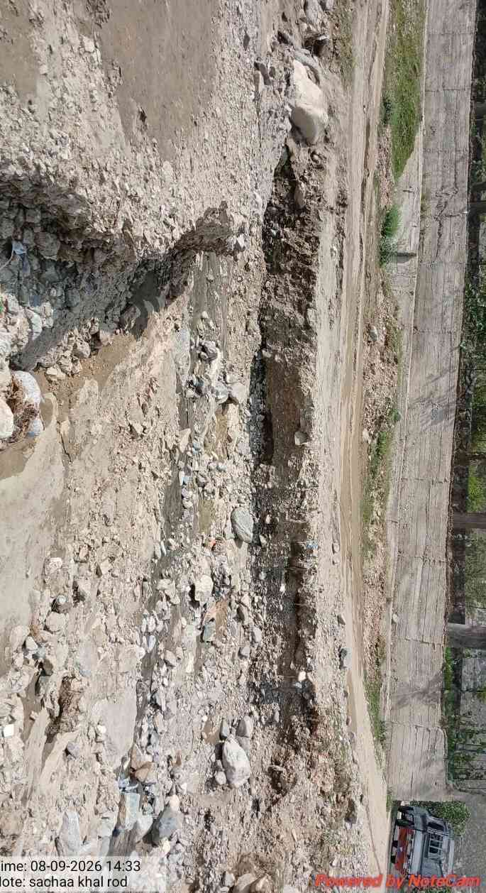
After Images (1)