Kair Dara Road
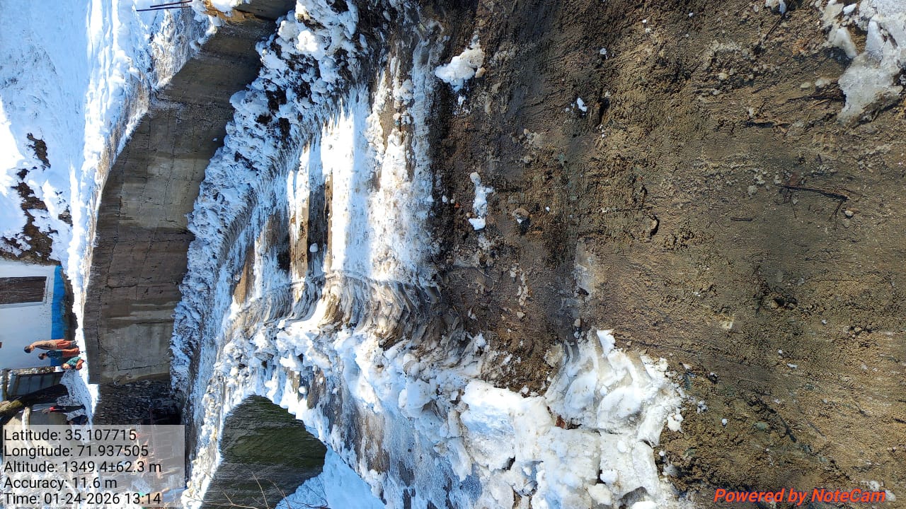
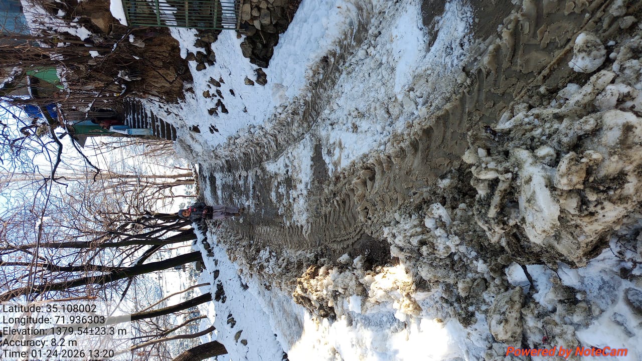
Partially restoredThis activity provides a detailed overview of the operational status of the Road Kair Dara Road, recorded on 23 January, 2026. The affected site is situated within the Dir Upper district, operating under the administrative jurisdiction of XEN DIR UPPER. The infrastructure has been primarily affected by Snow Clearance, encompassing a total span of 15 Kilometers.
Environmental conditions at the site indicated an average recorded snow depth of 1.00 inches. Restoration and clearance efforts were facilitated by the deployment of Tractor , which remained in active operation for a duration of 2 hours . In a formal assessment of the situation, the reporting officer noted with remarks: Snow height increases from start to the end of road. Two tractors have been mobilized and the road is almost clear. Kair Dara consists of Nalu Road, Shamorgar Road, Muto Road, Kair Khass Road.
The affected area has been mapped using geographic coordinates. The section starts at 71.873062, 35.075849 and ends at 71.927783, 35.095018. For location reference and navigation, view the route on Google Maps.
The road is now partially accessible; however, motorists are advised to proceed with caution as restoration work continues to achieve full safety and normal traffic flow.
The following photographs provide a visual record of the site conditions before and after the activity, illustrating the extent of the affected area and the improvements achieved through the executed operations.
Before Images (2)
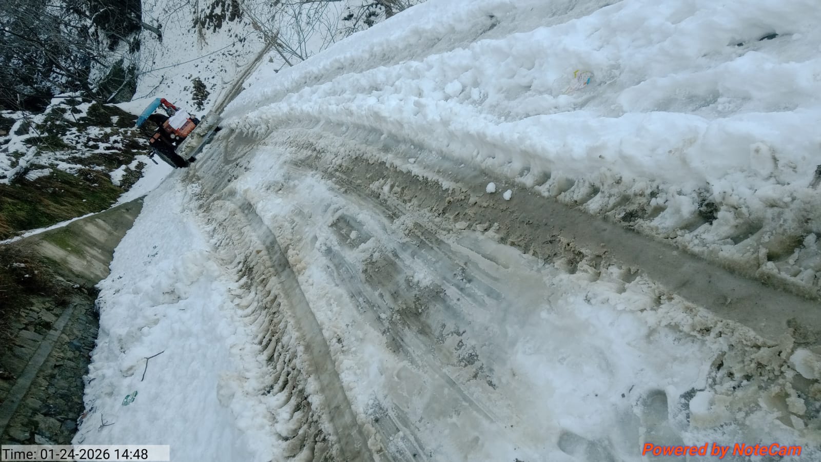
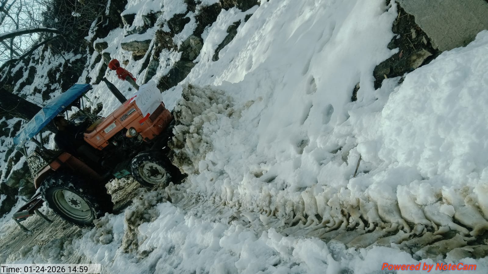
After Images (2)